Climate Desk
Jakarta Flood Map Orders River to Return to Approved Blue Line
The water has thirty days to comply with its printed boundaries or explain why the neighborhood is incorrectly shaped.
By our Water and Paper Correspondent · September 13, 2026
Jakarta — The Metropolitan Office of Accurate Geography issued a compliance order to the Ciliwung River on Wednesday after inspectors found water flowing outside the approved blue line on the city’s flood map.
The notice gives the river thirty days to return to its printed channel, submit revised coordinates, or demonstrate that several thousand homes have been built in the wrong reality. Officials attached the order to a bridge, where it remained legible until the afternoon rain.
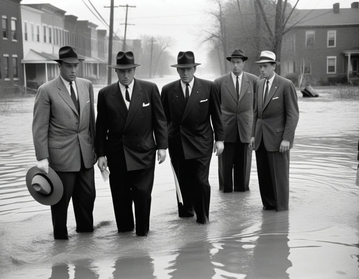
Residents in Kampung Melayu said the river had entered streets without an appointment. City representatives agreed but asked households to avoid moving the water before the appeals period ends, since displaced evidence may be treated as drainage.
The map is the city’s promise about where the problem belongs.
A river spokesperson could not be reached. Continuous water sounds near the embankment were entered into the record but not translated because the office’s approved language contractor specializes in fountains.
Engineers proposed updating the map. The geography office rejected the suggestion on grounds that moving a blue line would be cheaper than moving a river and therefore lacked the seriousness expected of infrastructure policy.
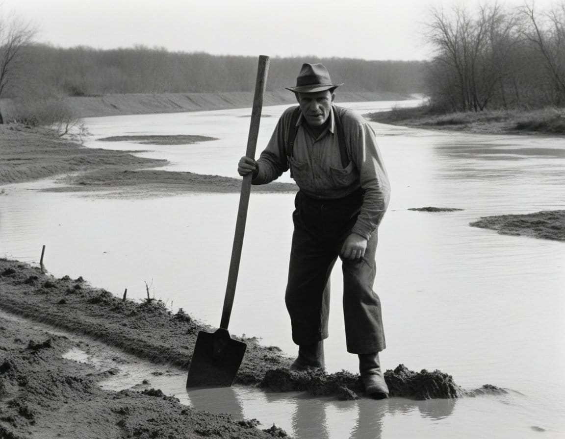
By evening, the river had receded toward its authorized position. The office declared preliminary compliance. Residents began cleaning their homes and were advised not to remove the official mud until it had been photographed from above.
Standards note Compliance was assessed against revision 7B of the municipal flood map; field coordinates were not substituted.